
Brookhaven Neighbors Block Sources
Official sources describe a block in layers, not as a complete list of people. The Town GIS shows parcel geometry, map layers, districts, and adjoining lots. The assessment or tax record can show a parcel owner field, mailing field, value, and situs address. The Suffolk County Clerk can connect a parcel or name to recorded instruments. Historical directories may locate an address in an earlier year. Each source has a different date and scope, so record the source date and label the result accurately.
| Block source | Brookhaven detail it can show | Access and limit |
|---|---|---|
| Town GIS | Parcel boundaries, districts, map layers, adjacent lots | Public map; no complete people list |
| Town tax and assessment | Owner field, mailing or situs relationship, value | Public portal; owner is not necessarily occupant |
| Suffolk County Clerk | Recorded deeds, mortgages, and named instruments | Index search is free; images and copies can cost |
| Civic associations | Community identity and published meeting context | Association-specific; verify current status directly |
| Historical directories | Earlier address or telephone clues by year | Repository access; not a current household list |
| Voter service | Lawful registration or poll-site information | Person-specific fields and confidentiality rules |
For a block, an owner field may be a useful starting point. It does not prove occupancy, common residence, a family relationship, or a complete set of neighbors. A parcel record is best described as adjacent-parcel research until another source independently answers a different question.
Mapping Brookhaven Neighbor Parcels
The verified Brookhaven method is map browse and identify. No radius, buffer, or owner-export function was located. Begin at the target address in the Town of Brookhaven GIS Map Viewer or tax-map search. Select the target parcel, note the Suffolk Tax Map number, then pan or zoom only far enough to see lots that share a boundary. Geometry identifies candidate adjacent parcels. The assessment tool and County Clerk then provide separate public-record checks.
- Find the target in the Town of Brookhaven GIS Map Viewer using an address or a tax-map identifier.
- Record the target's parcel geometry and Suffolk Tax Map number, also called SCTM, before selecting adjoining parcel lines.
- For each adjacent line, verify the candidate with the Brookhaven tax-map search and retain the owner or mailing field exactly as displayed.
- Use the Suffolk County Clerk land-record kiosk for a deed or mortgage reference when title context is needed.
The flow is address to SCTM, SCTM to parcel geometry, geometry to adjoining parcel candidates, then tax or deed verification. It is an inference from map lines, not a statement that people on those lots know one another or share a household. For a complete named-street record trail, use the Brookhaven street directory instead.
Brookhaven GIS Without a Radius
GIS is especially useful for the physical context of Brookhaven neighbors. Town Online Services points to parcel, zoning, district, and map applications. Suffolk County GIS cautions that its maps are general reference material and accuracy is not guaranteed. Treat the parcel line as a research aid, then use the tax map, assessment record, and Clerk index to check an identifier. Do not capture a live popup as proof of ownership, and do not infer a legal boundary from one map display.
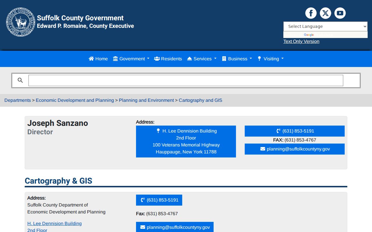
The Suffolk County Cartography and GIS resources describe parcel linework, historic aerials, and public mapping material that can add time and geography to an adjacent-parcel review.
Use the parcel linework to identify lots that touch the target, then document the separate record used to check each parcel. The map does not identify a current household.
Note: Keep the map date, scale, parcel identifier, and source URL with any adjacent-parcel notes so a later reviewer can repeat the search.
Brookhaven Neighbor Civic Context
Town materials identify the Farmingville Residents Association and Mount Sinai Civic Association as civic context for Brookhaven neighbors. Older Town inventory also mentions groups associated with Shoreham, Rocky Point, Ridge, Wading River, Coram, Miller Place, Sound Beach, Lake Panamoka, and other communities. Those references can help locate a meeting notice, archival lead, or community name. They do not amount to an official membership, address, or contact directory.
| Community reference | What the Town material supports | Current-use caution |
|---|---|---|
| Farmingville Residents Association | A Town meeting record notes the Supervisor met with the association on July 23, 2026. | Confirm any current officers, meetings, or contacts with the association itself. |
| Mount Sinai Civic Association | A Town record notes the Town Clerk attended an association meeting on March 12, 2026. | Do not assume a published name is a current contact or member list. |
| Older civic inventory | Supports community-name discovery for several Brookhaven areas. | Verify present activity, scope, and public contact information independently. |
The Town's District 1 community information is a useful official source for civic geography and community names.
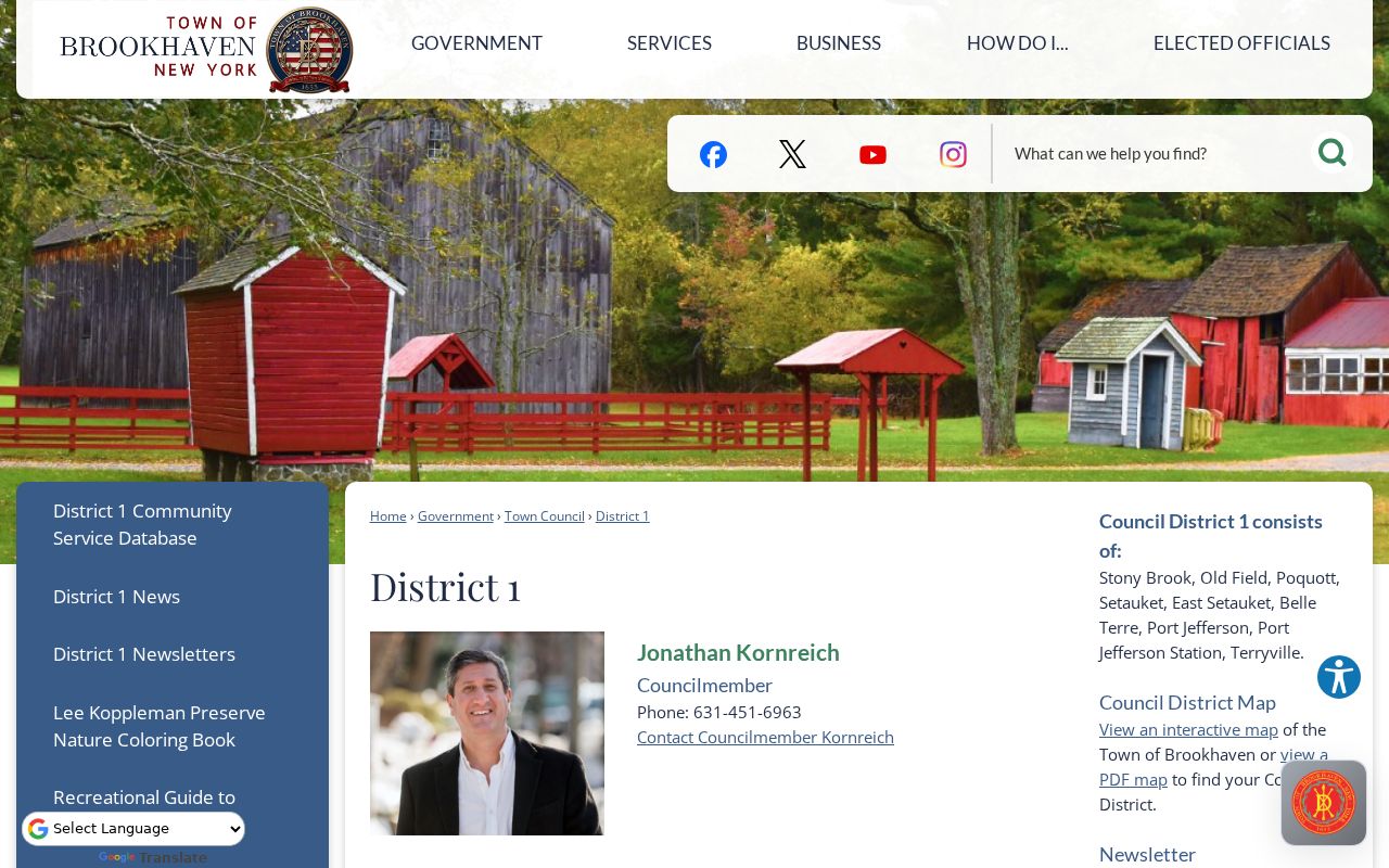
Council-district context can place a block in a community conversation, but it does not establish residency, association membership, or a private contact list.
Brookhaven Neighbor Voter Limits
New York Voter Lookup is person-specific. It requires county, last name, first name, date of birth, and ZIP Code, with address controls also visible in the interface. It is not a block browsing tool. Select Suffolk County only when the individual search is lawful and the required information is already available. A public result can help confirm election geography or a poll-site match, but it does not establish every household member at an address.
For a complete voter-file request, Election Law §3-103(5) requires a statement that the data will be used for an elections purpose. Non-election use is prohibited. Ballot choices are private. The New York confidential registration program keeps qualifying registrations separate and nonpublic except to election officials. A failed result may reflect protected status, spelling, timing, or a mismatched field rather than an absence of registration.
The Suffolk Board of Elections is at 700 Yaphank Avenue and can provide a registration-card copy through a written, signed request that includes the person's name, address, and date of birth. The listed fee is $5. That route is still a person-specific record request, not a way to assemble a block roster. Confirm live procedures with the Board before submitting a request.
Historic Aerials for Brookhaven Neighbors
Historic imagery adds a time layer to the block, not a people list. Suffolk mapping resources identify aerials back to 1947, 1928-30 aerial PDFs, and 1960-2001 historical aerial prints available by appointment. Aerials can show whether a structure, road pattern, or open parcel appears at a particular date. They cannot identify who lived there, prove ownership, or replace the recorded deed and assessment trail.
Use an aerial date alongside a tax-map identifier, deed date, permit record, or dated directory entry. That comparison is useful when a property history changes faster than a map label. It also avoids treating a modern parcel shape as evidence of an older boundary. This time span is the practical numbers layer for a Brookhaven neighbor search: the map can extend decades before a current online property field, but it still needs a separate record for identity.
For an earlier household clue, the Celia M. Hastings Local History Room at Patchogue-Medford Library holds directories, newspapers, maps, atlases, cemetery material, vertical files, and archives for Brookhaven and Suffolk County. Stony Brook Special Collections adds north-shore telephone directories, a 1944-45 Brookhaven and Islip school directory, and Brookhaven ephemera. Record the publisher, year, page, address, and qualifier from an actual item. No complete current Brookhaven residential directory run was located, so a historic address entry must remain historical context.
Official Neighbor Tools Compared
Official records identify their custodian and access limit. Commercial neighbor tools compile records from multiple sources and may be stale, incomplete, or wrong. Neither category turns an owner field into proof of current residence. For an address question, the official chain is more transparent because the parcel, map date, deed index, and access limit can be documented. Use commercial categories only as a reason to verify elsewhere, never as the final source for a block claim.
| Source category | What it can provide | What to verify |
|---|---|---|
| Town and County record | Parcel, tax, deed, or map context tied to a custodian | Source date, owner versus occupant, and any access restriction |
| Commercial compiled tool | Broad but mixed public and brokered data | Freshness, source trail, opt-out status, and identity match |
| Civic reference | Community name, notice, or published event context | Current status and whether any contact is publicly authorized |
Brookhaven Neighbor Privacy Limits
Some information about a block is not open for neighbor research. Private household details, utility and delivery data, protected addresses, full dates of birth, and ballot choices are not a public map layer. New York's Address Confidentiality Program can provide eligible participants a substitute Albany mailing address, while actual addresses are restricted. DMV personal information is protected by the Driver's Privacy Protection Act. Preserve redactions and do not try to reconstruct protected information from several public sources.
Lawful use. Use Brookhaven neighbor records for personal, lawful research only. Do not use parcel, court, civic, or address information to watch, harass, threaten, or expose another person.
New York Freedom of Information Law, or FOIL, is Public Officers Law Article 6 §§84-90. It provides a path to existing agency records but does not override confidential voter, vital, court, ACP, or privacy restrictions. Ask the proper custodian for a narrow, non-exempt record rather than requesting a conclusion about who lives on a block.
Brookhaven Neighbor Records by Date
Keep an adjacent-parcel worksheet date-specific. Preserve the target address, SCTM, map date, adjoining parcel identifier, tax or assessment date, and any Clerk document reference. If a historical directory or aerial is used, record its year and repository. A clean timeline helps separate current parcel context from past address association. It also shows where the evidence stops. No one Brookhaven source provides a complete, current directory of every person on a block.
Note: Describe the result as adjacent parcels, owner fields, or historical address clues, not as a verified list of neighbors.